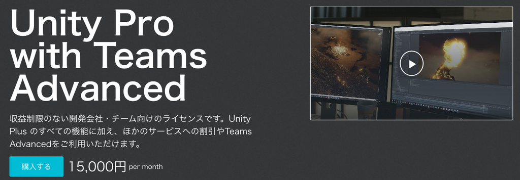


** ON SALE! 50% OFF **Regular Price: $69.99Offer expires July 3.World Political Map - 2D Edition 2 adds to your scene a beautiful, customizable and interactive 2D political map with just a couple of clicks. Drag the map prefab to your scene and customize the look & feel.Key Features:- Procedurally draws the frontiers of 241 countries, 4112 provinces and states, and the location of the 7144 most populated cities in the world!- Fully interactive map: zoom, pan, select, regions of countries, provinces/states and cities highlight as you pass the mouse over them.- Viewport rendering targets (supports cropping, see video below for a demo)- Supports Perspective and Orthographic projections- Add markers and line animations over any country, province, city or custom location using latitude/longitude- Can be instantiated and controlled by code (API and documentation provided).Additional Features:- Three types of cities, including country and region capitals.- Automatically draws country labels with placement options.- Colorize countries, provinces/states or entire continents!- Per country texture support!- Find and fly smoothly to any country, state or city by its name from current position. Also locate/fly to any location in the map by latitude/longitude.- Mount Points: add your custom strategic locations from the Editor and find/navigate/position objects on them easily.- Two levels of details for frontiers at 110.00.000:1 and 30.000.000:1 scale.- Imaginary lines: draw latitude, longitude and cursor lines.- Lots of customization options: frontiers colors, highlight color, visibility of cities/frontiers/Earth, labels, ...- 8 Earth styles from lightweight styles to advanced styles including Scenic shaders (clouds + relief effects) and high resolution textures up to 16K with custom shaders.- No internet access required! Geographic data included in the asset, which does not use Google Maps nor any other map provider. Makes it very fast and works offline!Plus...* Calculator: unit converter from lat/lon to XY coordinates and city distance calculator.* Tickers: scrolling, blinking and fading messages.* Decorator: customize countries appearance (colors, textures, labels).* Map Editor: build the map you need from inside the Unity Editor with advanced tools (create/modify/reshape/merge countries, provinces, cities...)Compatibility:- Compatible with standard/built-in and URP pipelines.- Compatible with Unity 2022 and Unity 6, including Render Graph.- Mobile friendly: tested on Android and iOS.- Source code included (C#).- Dedicated support forum.Related assets:- 2D Starter Edition- Globe Edition- World Map Strategy Kit- World Flags and Weather SymbolsWant them all? Check out our World Maps Pro Bundle.Comparison Table📖 Documentation | 💬 Support | 🎬 YouTube | 🏢 Publisher PageKronnect is dedicated to high-quality Unity assets with continuous updates and responsive support.