






New Zealand Southern Alps Real-World Terrains 260 km²
Matei Ioan Alexandru
$15.39
$21.99
30%OFF
(no ratings)
Jump AssetStore
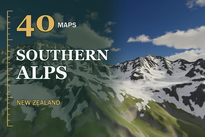
40 Southern Alps maps in early summer with up to 3,092 m of relief: snowy peaks, screes and braided rivers. Real scale, 8 m data, three pipelines.Unity 2022.3 and above. Built-in, URP and HDRP in one package. Real-scale terrains (1 unit = 1 m) built from the exact heightmap pixels.▶ Full 4K video showcase: https://youtu.be/d8v7N8if1M4The Southern Alps of New Zealand - 40 real-world high mountain maps for Unity, early summerSnow-covered peaks and knife-edge ridges above glacial valleys, vast grey screes, braided river flats and alpine basins. Elevation data (DEM) at 8 m per pixel, every map 16 x 16 km (260 km²) with 1,705 m to 3,092 m of relief; Unity keeps each height to within half a level of 52.0 to 94.4 mm.✦ CONTENTS40 alpine heightmaps - 16-bit PNG, 2017 x 2017 px, size and height range in the file nameTerrains at true scale - one Unity terrain of 2049 samples per map from the original pixels, lowest point at Y = 0Three demo levels - Alpine High Peaks, Snowfield Ridges and Glacial Valley Lake in Built-in, URP and HDRPMilky glacial lake - the lake of the glacial valley level is found in the elevation data and drawn with turquoise lake water✦ HIGH COUNTRY GROUNDEight 4K layers - snow, rock, scree, alpine grassland, river gravel, native bush, pasture and volcanic scoriaSouthern-hemisphere snow - the snow reaches lower on the shaded south faces and starts higher on the sunny north facesRock on the ribs - bare rock follows the ribs and crests; scree fills the gullies and the ground below the cragsYour own terrains too - Paint Selected Terrains lays the same ground on any terrain; Build and Paint does it from a PNG✦ SPEEDNative 3840 x 2160 on an RTX 3090 - HDRP 82-87 FPS · URP 92-130 FPS · Built-in 149-164 FPS, no upscaling✦ COMPATIBILITYUnity 2022.3 and above; Built-in, URP and HDRP. One click in Project Setup switches on the terrain holes the builder uses. In Built-in the demo levels run without post-processing and look plainer.✦ WHERE IT FITSMountaineering and survival games, flight and glider simulators, ski and expedition scenes, fantasy mountain realms.✦ THE SERIESVolcanic Plateau - the North Island volcanoes - https://assetstore.unity.com/packages/slug/428788Ranges & Hill Country - bush-clad ranges - https://assetstore.unity.com/packages/slug/428790Southern Lakes & Ranges - the lakes country - https://assetstore.unity.com/packages/slug/428794Data - 40 heightmaps, 16-bit PNG, 2017 x 2017 px at 8 m per pixel - 260 km² per mapRelief range - 1,705 m to 3,092 mTerrain layout - one terrain of 2049 samples, the original pixels, edge strip removed with holesVertical step - 52.0 to 94.4 mm per height levelScenes - Alpine High Peaks, Snowfield Ridges, Glacial Valley Lake x Built-in / URP / HDRP; 3 prefabsLayers - 8 layers + shared layers, 4096 px albedo with smoothness, normal and mask mapsWater - glacial lake water (Shore Water) where the elevation data holds a lakeShaders - hex-tile anti-tiling, side projection on walls, tussock tufts, detail reliefIncluded tools - Terrain Builder, Project Setup, New Zealand Ground painter, PDF guideEngine - Unity 2022.3 and above